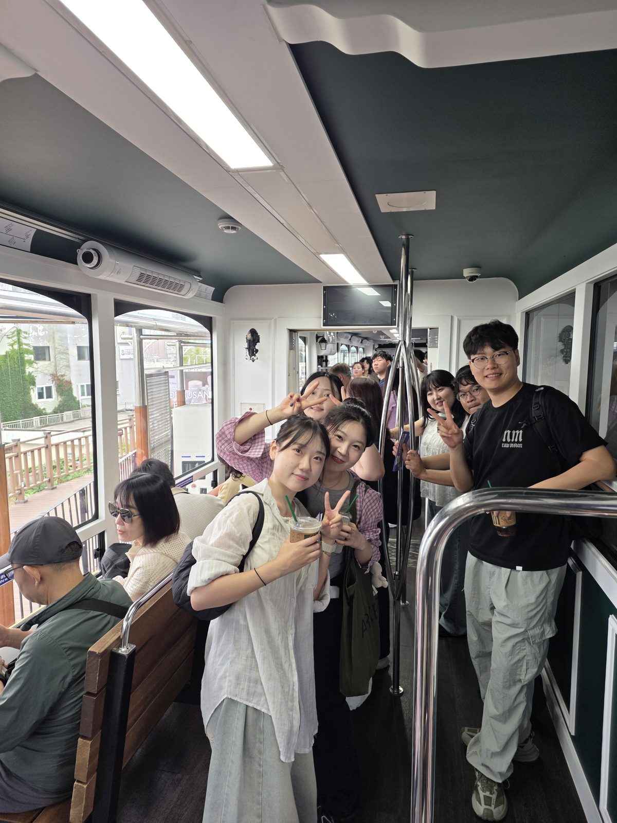
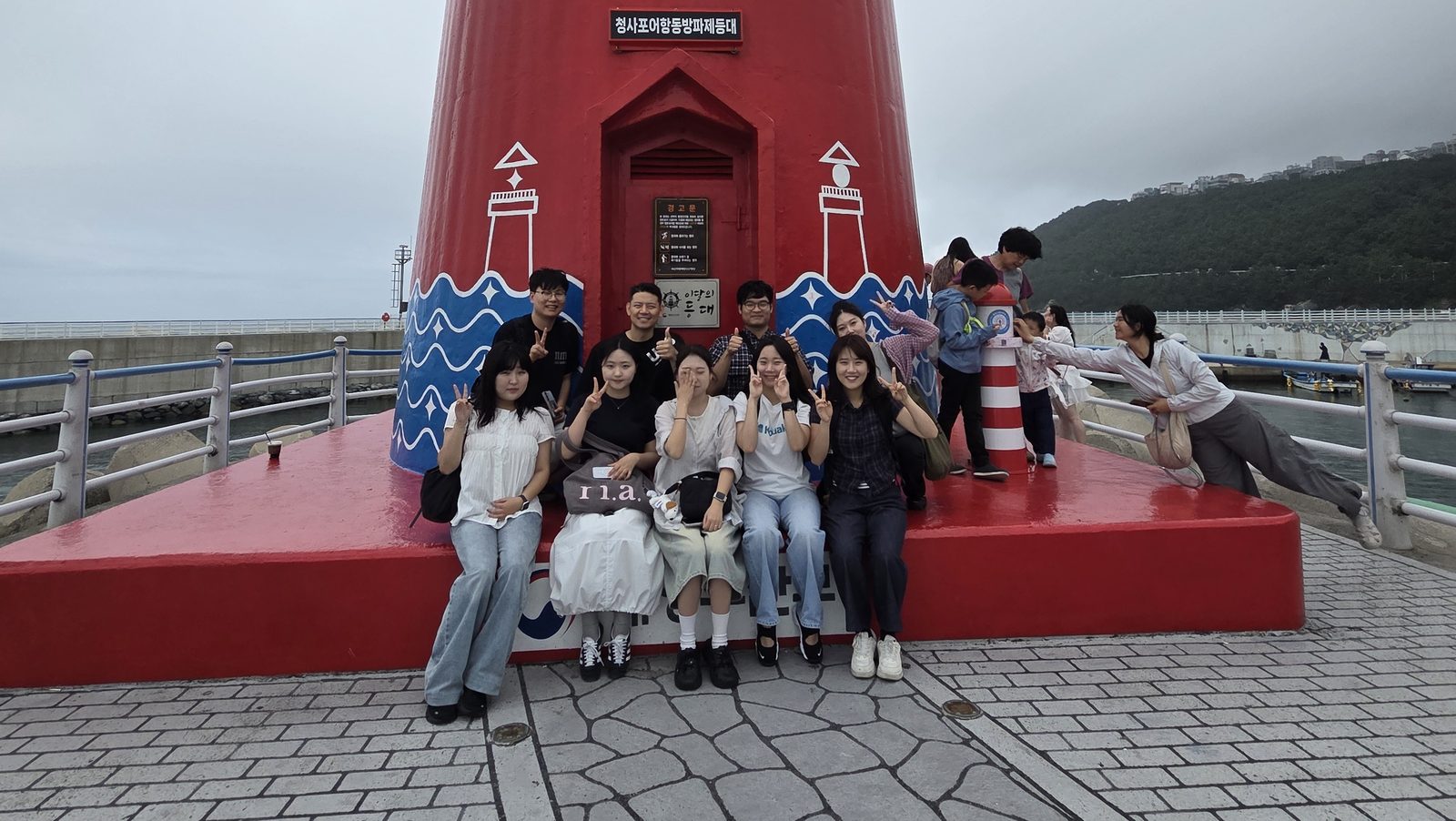
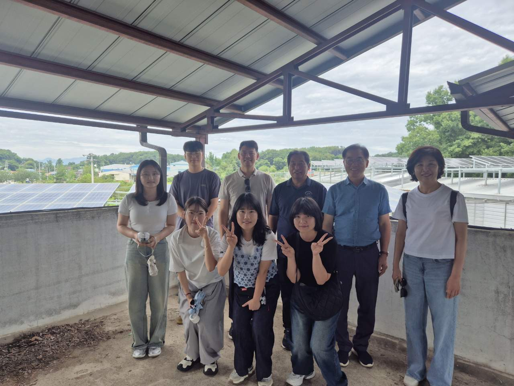
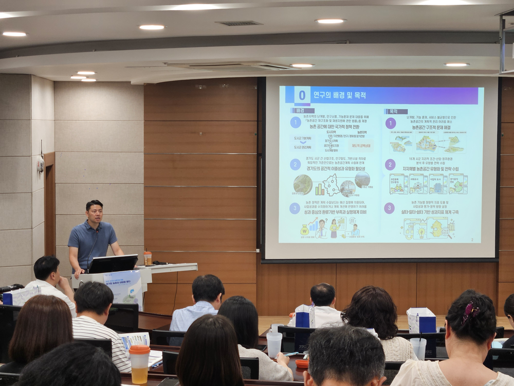
SDC Lab 연구원들이 부산과 대구의 구도심을 1박 2일간 답사하며, 산림청 녹지형평성 연구에서 마련한 구도심 교목 식재 전략을 현장에서 검증했습니다.SDC Lab researchers spent two days surveying the old downtown districts of Busan and Daegu, verifying on site the old-downtown tree-planting strategy developed for the Korea Forest Service green-equity study.
- 기간Period
- 2026.07.07 — 07.08 (1박 2일)(2 days, 1 night)
- 장소Venue
- 부산 · 대구 구도심 일대Old downtown districts of Busan and Daegu
- 연계 과제Related project
- 산림청 「녹지형평성을 위한 도시숲 정책 전환 및 대상지 선정·조성 전략 연구」Korea Forest Service — "Shifting urban forest policy toward green-space equity: site selection and development strategy" (2026.03 — 2026.12)
- 확인 사항Field checks
- 구도심 교목 식재 가능 공간 · 상황유형별·모듈형 식재 전략의 적용 가능성 · Before/After 청사진 기준 시점 기록Feasible tree-planting space in old downtowns · applicability of the situation-type and modular planting strategies · baseline record for the Before/After blueprints
연구실이 준비 중인 구도심 식재 전략은 네 단계로 이어집니다. 먼저 대상 구간을 상황유형으로 진단하고 — 나무가 부족한데 심을 자리가 있는 곳, 자리는 있으나 노상주차·담장이 점유한 곳, 보도 폭·지하 매설물 때문에 지면 식재가 어려운 곳, 이미 충분해 손대지 않는 편이 나은 곳 등으로 나눕니다. 다음으로 유형마다 모듈형 식재 전략을 매칭합니다. 가벼운 손질(수종 전환·전정·기존 식재구덩이 보강), 지하 개량(연속 트렌치·구조토양 등 뿌리가 쓸 흙 부피 확보), 공간 재편(주차면 전환·담장 셋백·포켓공원)을 발주 가능한 작업 단위로 고정해, 대상지마다 새 유형을 만들지 않고 같은 카탈로그로 예산과 시공을 설계할 수 있게 하는 방식입니다. 이렇게 매칭된 전략을 구간별 Before/After 청사진으로 시각화하고, 마지막으로 그 결과가 어느 집계구에 돌아가는지를 따져 녹지형평성 향상을 평가합니다. 총 그루 수가 늘어도 이미 녹지가 풍부한 곳에 몰리면 형평성은 오히려 나빠질 수 있기 때문입니다.The old-downtown planting strategy the lab is preparing runs in four steps. Each street segment is first diagnosed by situation type — short of trees but with room to plant; room in principle but occupied by on-street parking or walls; ground planting blocked by sidewalk width or buried utilities; or already well covered, where not planting is the better choice. Each type is then matched to a modular planting strategy: light treatment (species conversion, pruning, reinforcing existing tree pits), below-ground improvement (continuous trenches, structural soil and similar measures that secure rooting soil volume), and spatial reconfiguration (converting parking bays, setting back walls, pocket parks). Fixing these as procurable work units lets budgets and construction follow one catalogue instead of inventing a new type for every site. The matched strategies are then visualized as segment-level Before/After blueprints, and finally assessed for gains in green-space equity by asking which census blocks the results actually reach — because if added trees cluster where greenery is already abundant, equity can worsen even as the total rises.
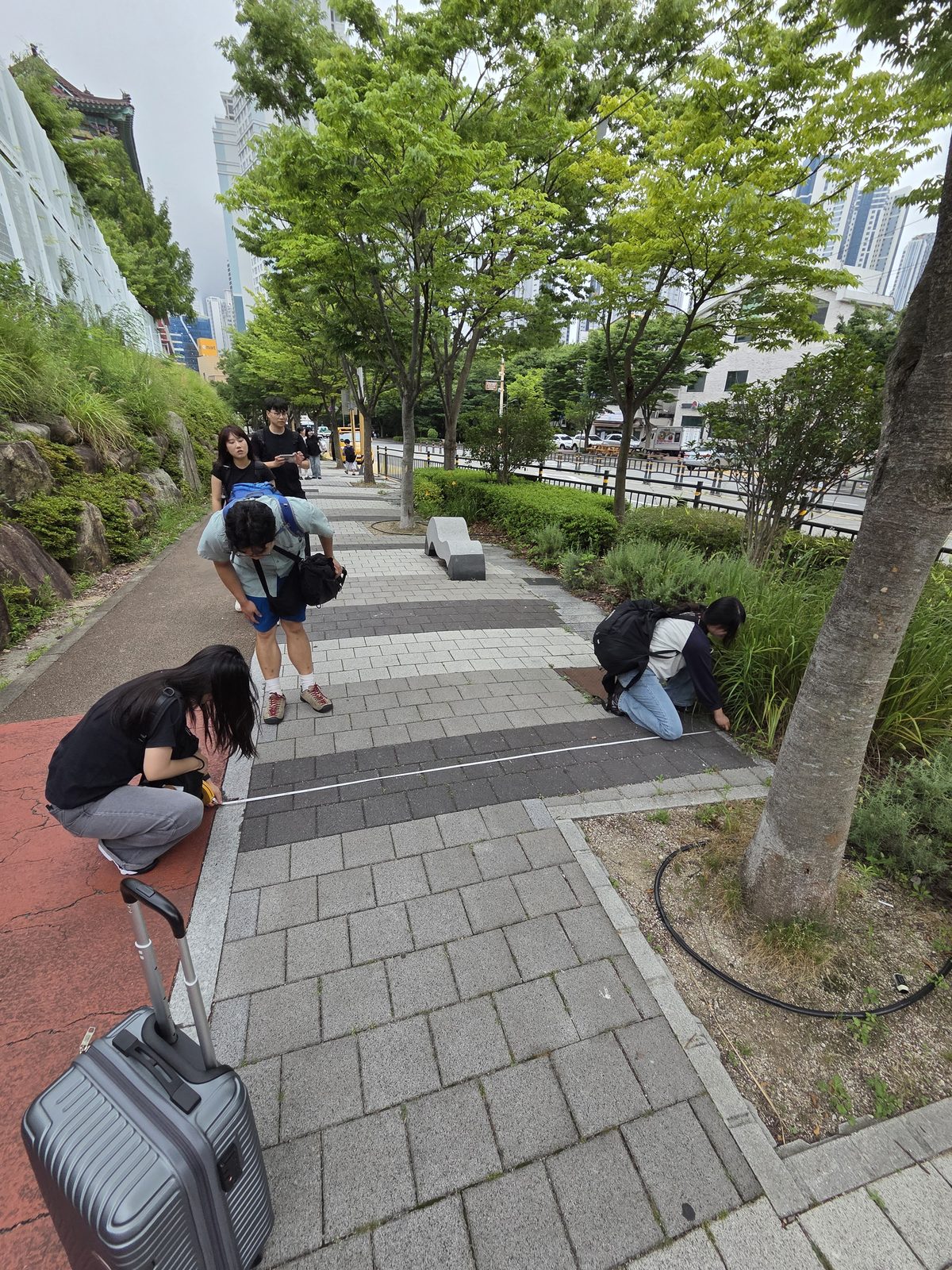
현장 답사는 도면과 위성영상만으로는 판단할 수 없는 조건을 확인하기 위한 것이었습니다. 보행에 실제로 쓰이는 유효 보도폭과 식재대를 놓을 여유, 노상주차·담장이 점유한 범위, 가공전선과 상가 간판이 수관을 제약하는 정도, 기존 가로수가 실제로 그늘을 만들고 있는지를 구간별로 확인·실측했습니다. 이 기록은 상황유형 판정과 모듈 매칭의 근거가 되는 동시에, Before/After 청사진의 ‘Before’ 기준 자료로 쓰입니다.The purpose of the visit was to check conditions that drawings and satellite imagery cannot settle. Segment by segment, the team observed and measured the effective sidewalk width left for walking and the room available for a planting strip, the extent occupied by on-street parking and walls, how far overhead power lines and shop signage constrain the canopy, and whether the existing street trees actually cast shade. These records ground the situation-type judgements and module matching, and serve as the “Before” baseline for the Before/After blueprints.